Enabling smarter resource management for a vital North American region
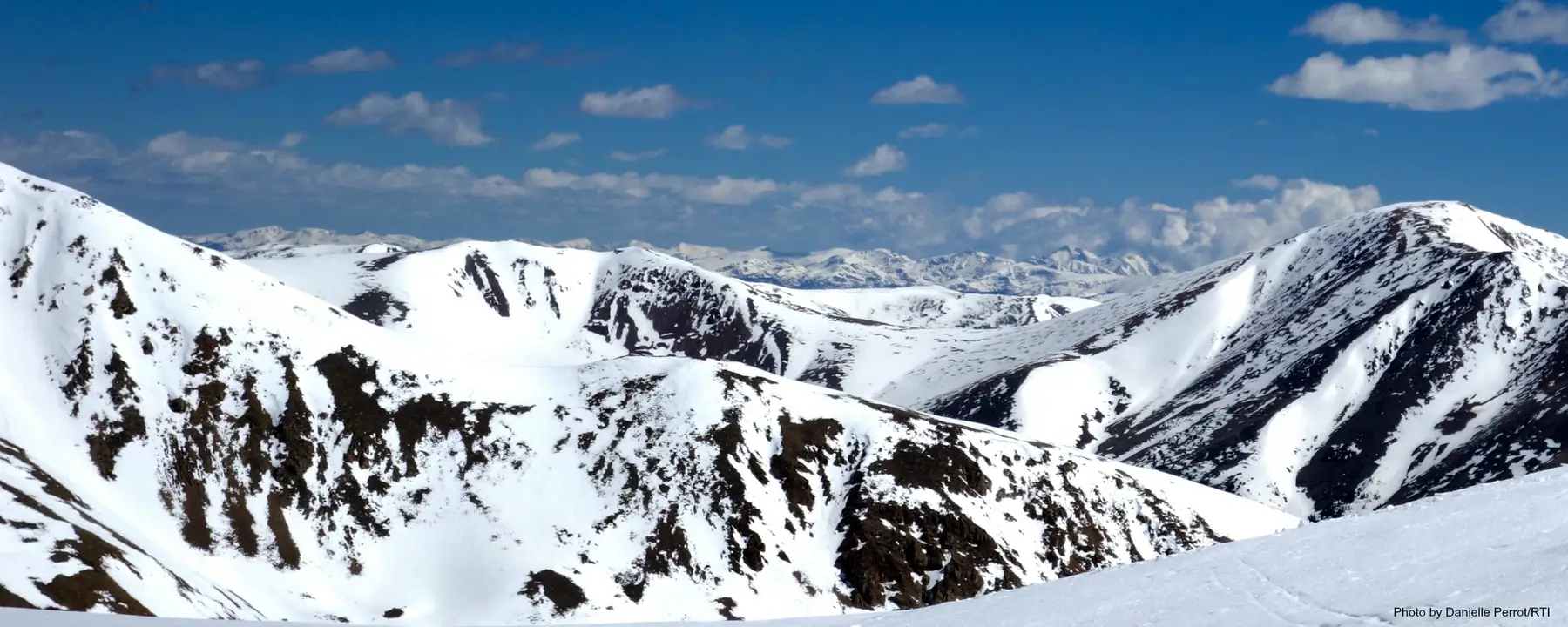
A significant amount of the water consumed in the western United States and Mexico begins as snow in the Rocky Mountains. Each spring, the winter’s accumulated snow starts melting, flowing into the Upper Colorado River on its way to reservoirs that eventually reach 25 million people and 3.5 million acres of irrigated land.
The Upper Colorado River Basin offers a prime example of how weather variations in one location can affect life hundreds of miles downstream. With population growth, periodic droughts, and outdated allocation schemes all affecting the region’s use of water, the authorities responsible for managing this crucial water supply need as much data as possible to make good decisions. Water managers rely heavily on an Annual Operating Plan from the U.S. Bureau of Reclamation and seasonal streamflow forecasts from the National Weather Service’s Colorado Basin River Forecast Center. Any improvement in streamflow forecasting from new technologies and methodologies will directly impact decision making in regional water management, reducing risk and uncertainty for water users.
Riverside Technology, which RTI acquired in 2017, has been working with the NASA Earth Science Applied Sciences Program since 2015 to develop more accurate seasonal water supply forecasts for the Upper Colorado River Basin.
Integrating Sources of Data into an Ensemble Forecast Framework
We are working directly with two main stakeholders: Denver Water and the Dolores Water Conservancy District. These two entities manage water for municipal, industrial, and agricultural uses throughout Colorado.
Denver Water, which serves 1.4 million people, has been managing limited supplies during drought and grappling with increasing demand for water. The Denver Water system includes reservoirs, tunnels, and pipelines both east and west of the Continental Divide. The Dolores Water Conservancy District, located in southwestern Colorado, manages the Dolores Project, which includes a major reservoir that stores water primarily for municipal and irrigation water use. Reservoir releases during the summer generate hydropower while also providing recreational boating and fishing opportunities downstream. Both stakeholders must constantly balance competing priorities and unforeseen factors.
The principal goal of our four-year project is to develop a forecast framework that generates improved probabilistic three-to-six-month water supply forecasts for our stakeholders. The following are some of the sources of data we are incorporating into our forecasts:
- SNOTEL, a network of more than 800 remote sensors measuring snowpack and other conditions in remote mountain areas
- The Global Precipitation Measurement Core Spacecraft, a satellite launched in 2014 that can detect snow and rain
- MODIS, the Moderate Resolution Imaging Spectroradiometer, another satellite sensor that helps monitor changes in cloud cover, snow cover, fires, and other factors that influence the melting of snow
Working with the Colorado Basin River Forecast Center, we are combining information from these sources and incorporating it into a distributed hydrologic model. The new model will form the basis of improved seasonal forecasts and provide uncertainty estimates of the forecasts, thus supporting risk-based decision making for water management. To test our forecast model, we are using data that spans back to the late 1980s to generate “re-forecasts” that we can compare with actual basin runoff to validate the new methods and assess potential forecast performance improvements.
Using Water More Efficiently for a Strong, Sustainable Economy
More accurate forecasts will reduce uncertainty and help residential, commercial, and agricultural interests throughout the western U.S. and Mexico use water more efficiently. The broader benefits of better forecasts would spread into these and other key sectors of the regional economy, such as recreation and power production. Going forward, we are interested in applying our understanding of water use in the Upper Colorado River Basin to research that would quantify these benefits.
In the future, the same forecasting technology could be expanded to the entire Colorado River Basin, and to other snow basins around the world. The project has been included as one of the NASA referenced projects cited in the Group on Earth Observations Global Water Sustainability (GEOGLOWS) initiative. As the world grapples with the uncertain impact of a changing climate, our improved forecast models will become a critical tool for the region’s ongoing development.
- National Aeronautics and Space Administration (NASA)
- Colorado State University
- Utah State University

