Insights


Agricultural decisionmakers in developing countries need better information to make policy and investment decisions that could have major implications for their country’s food security. For instance, which crops are growing where? What yields can be expected? What are the average plot sizes? Unfortunately, this data can be extremely expensive to collect and existing data is often outdated, error-prone, or without the right metadata to make sense of it.
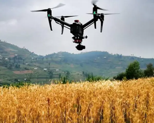
Advancements in remote sensing technologies—including drones and high-resolution satellite imagery—and the advent of improved data processing and machine learning all hold promise to revolutionize the cost, resolution, and accuracy of collecting agricultural information. However, these technologies can also be difficult to apply and sustain. RTI’s internally funded Grand Challenge project in Rwanda is applying recent advances in remote sensing to determine how insights and data from these technologies can be harnessed to promote food security in areas of need.
Continue reading this blog post for the ICT4D Conference, by RTI Senior Economic and Policy Analyst Daniel Lapidus.
Featured Publication
Read "The View from Above," our RTI Press research brief on how satellites can inform decision-making for food security.
Disclaimer: This piece was written by Daniel Lapidus (Director of Sustainable Agriculture and Food Systems and RTI Climate Liaison) to share perspectives on a topic of interest. Expression of opinions within are those of the author or authors.