Allocating the resources of the world’s longest river
Objective:
Develop the Nile in a cooperative manner and promote regional peace, water security, and sharing of socioeconomic benefits.
Approach:
We helped to build systems which government ministers and technicians use to communicate and coordinate with one another.
Impact:
With population growth and increases in data sharing and cooperation, systems developed will continue to improve the lives of millions of Africans.
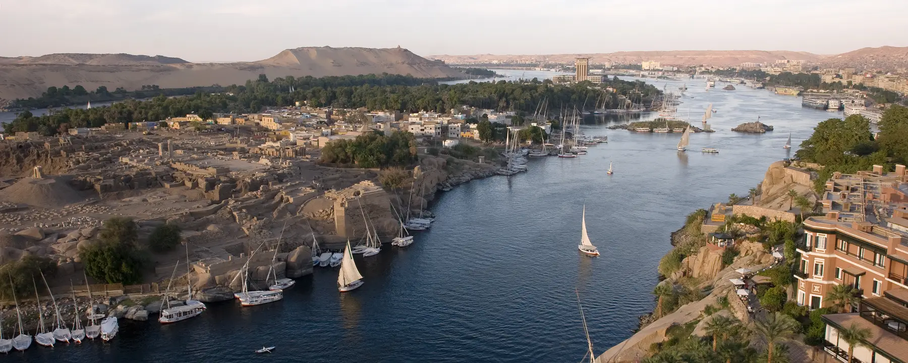
The longest river in the world, the Nile spans 35 degrees of latitude, drains three million square kilometers of land (one-tenth of the total surface area of Africa), and runs through 11 countries whose combined population totals over 300 million people: Egypt, Ethiopia, Eritrea, Kenya, Rwanda, Burundi, Tanzania, Uganda, Sudan, South Sudan, and the Democratic Republic of the Congo. The Nile’s primary water source, Lake Victoria, is the world’s second-largest body of fresh water, and the Nile Delta in northern Egypt covers over 150 miles of the Mediterranean coastline.
The Nile was the lifespring of ancient Egypt, the world’s first great civilization, and it looms just as large in 21st century geopolitics as it did 5,000 years ago. Many of the countries in the Nile’s drainage area are challenged by poverty, deteriorating natural resources, and overpopulation. Modern Egypt’s dependence on the Nile for irrigation and hydroelectric power (via the Aswan Dam) has historically driven the government of Egypt to raise concerns about development projects further south, along the Upper Nile valley.
Since 2000, we have been involved in the Nile River Basin Initiative (NBI), a regional intergovernmental partnership that seeks to develop the Nile in a cooperative manner and promote regional peace, water security, and sharing of socio-economic benefits. Some of the specific project work was with the NBI Eastern Nile Technical Regional Office (ENTRO). The mission was to help member countries (Egypt, Ethiopia, Sudan, and South Sudan) with irrigation and drainage, flood control and early-warning systems, and various hydroelectric projects. Much of our time was spent helping build the NBI infrastructure—the systems by which government ministers and technicians communicate and coordinate with one another—which has given us a deep understanding of the political, social, economic, and climatological pressures that exist in this region of Africa.
Implementing the Nile Basin Decision Support System
A key component of the NBI, which we helped implement in 2008, is the Nile Basin Decision Support System (NB-DSS). This computerized system includes various toolsets for data processing, modeling, scenario management, and optimization and multi-criteria decision making. NB-DSS also gives users the ability to integrate environmental, social, and economic objectives, greatly facilitating multi-sector water resources planning at the river basin level. About 150 water resources engineers from the 11 NBI countries use the NB-DSS to inform their decision-making processes.
How does NB-DSS work? Here are three examples:
--The eastern tributary of the Nile, the Blue Nile, originates in Lake Tana, in Ethiopia, and joins the White Nile near the Sudanese city of Khartoum. Eighty percent of the flow along the Blue Nile is generated during just three months of the year, and what is colloquially known as “The Flood” regularly causes damage in both countries. The NB-DSS was used in a study to investigate the impacts of upstream Ethiopian dams, including the controversial Grand Ethiopian Renaissance Dam, on the existing Blue Nile reservoir systems in Sudan. The study findings showed that optimized operation of the upstream dams reduced downstream peak flood values and augmented low flows in the river. Additional benefits included increased power generation and water supply for irrigation, and improved flood control. The NB-DSS enabled government officials to review and evaluate dam operating scenarios, which enhanced the management of the region’s water resources and improved lives.
--A catchment area, or drainage basin, is an area of land where rainfall collects and drains into a body of water. The Sebaya River catchment area, in Rwanda, is prone to frequent and destructive floods, which can be exacerbated by outflows from this river’s hydroelectric dams. Simulations performed with the NB-DSS showed that additional Sebeya storage ponds-- at the outlet of the catchment area and at each of this river’s tributaries--delayed outflows from the dams. Water released from these ponds at the end of flood events would minimize the negative impact on surrounding communities and save property and lives in the region.
--The Nyando River Basin, in Kenya, has one of Africa’s densest populations and is unusually susceptible to disruptive, economically damaging downstream floods. Regional engineers used the NB-DSS to address two questions: how can the negative impact of these floods be mitigated, and how can the floodwaters be used to improve the condition of local residents before the water flows back into the river? Our model showed that with additional infrastructure, using water for irrigation and hydroelectric power while minimizing shortages and inefficiencies would be impossible.
The Future of the Nile River Basin Initiative
As the population of the countries along the Nile River continues to rise, and as these countries increase their level of data sharing and cooperation, we are confident that the systems we developed for NBI will continue to improve the lives of millions of Africans. We look forward to addressing any challenges future changes in climate might bring.
- The World Bank

