Solutions
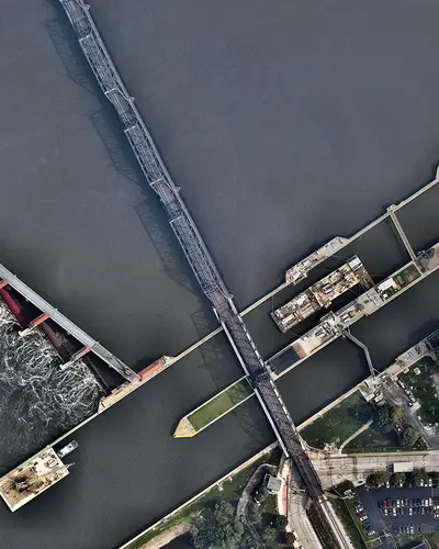
Flood impact analysis to support risk-informed dam safety decisions
For over 10 years, RTI has been a leader in development of comprehensive Downstream Consequence Assessments to evaluate the potential impacts of dam failure and extreme flood events.
Using agent based modeling tools and detailed geospatial datasets, RTI engineers quantify potential life loss, economic damages, infrastructure impacts, and population exposure resulting from dam breach or high-flow scenarios. These assessments support dam safety risk analyses, emergency action planning, and risk-informed infrastructure investments.
Leveraging LifeSim to Model Evacuation and Flood Impacts
A central component of RTI’s consequence modeling capability is the use of the US Army Corps of Engineers LifeSim model. LifeSim simulates the interaction between floodwaters and downstream populations by representing evacuation behavior, warning issuance, sheltering decisions, and the timing of flood arrival.
Integrating Flood Modeling and Population Dynamics for Life Safety Analysis
By integrating hydraulic flood wave simulations with transportation networks, warning effectiveness, and population distribution, RTI engineers estimate potential life loss across a range of flood and dam failure scenarios. This approach allows risk analysts to understand how changes in warning time, evacuation effectiveness, or breach characteristics may influence life safety outcomes.
Modeling the Economic Impacts of Dam Failure and Extreme Floods
In addition to life loss modeling, RTI evaluates non-life-loss consequences to provide a more complete understanding of downstream risk. These analyses may include:
- Economic damages to residential, commercial, and industrial structures
- Critical infrastructure impacts, including transportation corridors, utilities, and public facilities
- Population exposure and evacuation challenges within flood inundation areas
- Environmental and community impacts associated with large flood events
RTI engineers integrate LifeSim results with hydraulic modeling, GIS analysis, and asset inventories to produce clear, defensible consequence estimates that support Semi-Quantitative and Quantitative Risk Assessments (SQRA and QRA). The resulting analyses help dam owners and regulators better understand potential downstream impacts, evaluate risk drivers, and prioritize investments in risk reduction, emergency preparedness, and community resilience.
Learn More About Our Solutions
Related Solutions


Meet the Experts
View All Experts
Navigate to
Lana Millard Waneka

Lana Millard Waneka
Navigate to
Ryan Johnson

Ryan Johnson
Navigate to
Michael Crouch

Michael Crouch
Navigate to
Shaun Carney