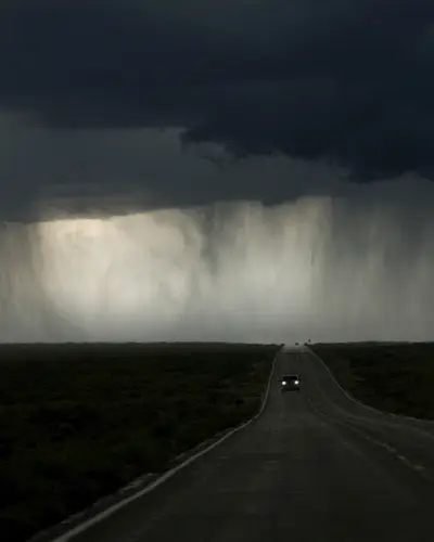
Uncovering the full story of extreme rainfall
Traditional gridded precipitation products often suffer from errors due to bad station data, insufficient periods of record, and poor resolution. We overcome these limitations by producing customized storm analyses. Our Storm Analysis System is a powerful tool for recreating historical storm events with precision and accuracy, delivering detailed reconstructions of extreme rainfall events, and providing a clear picture of precipitation patterns across both space and time. The system processes data from thousands of precipitation gauges, NEXRAD radar data, and other climatological sources to generate hydrometeorological metrics for flood hazard assessments.
RTI's Storm Analysis System Process
Our process is streamlined for efficiency and reliability. The system retrieves and processes data automatically, allowing for repeated runs to test different analysis parameters and validate results. It utilizes a sophisticated approach to combine measured storm precipitation and radar data with prior knowledge about regional climatology to produce the most accurate results possible.
Finally, our trained meteorologists manually review all analyses to fine-tune results and offer their expert insight. By blending advanced data integration with expert meteorological review, our Storm Analysis System delivers actionable insights into extreme precipitation behavior, empowering more informed decision-making for water resources, infrastructure planning, dam safety, and flood risk management.
Learn More About Our Solutions
Meet the Experts
Meet the Experts
Navigate to
Kyle Chudler

Kyle Chudler
Navigate to
Debbie Martin

Debbie Martin
Navigate to
Victoria Sankovich Bahls