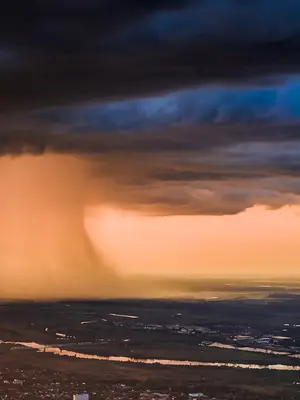
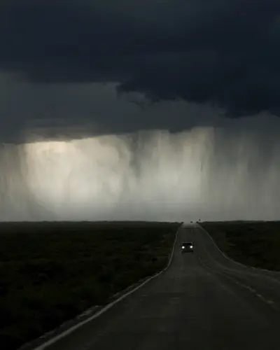
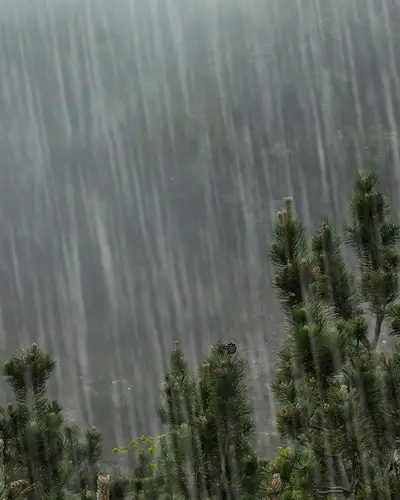
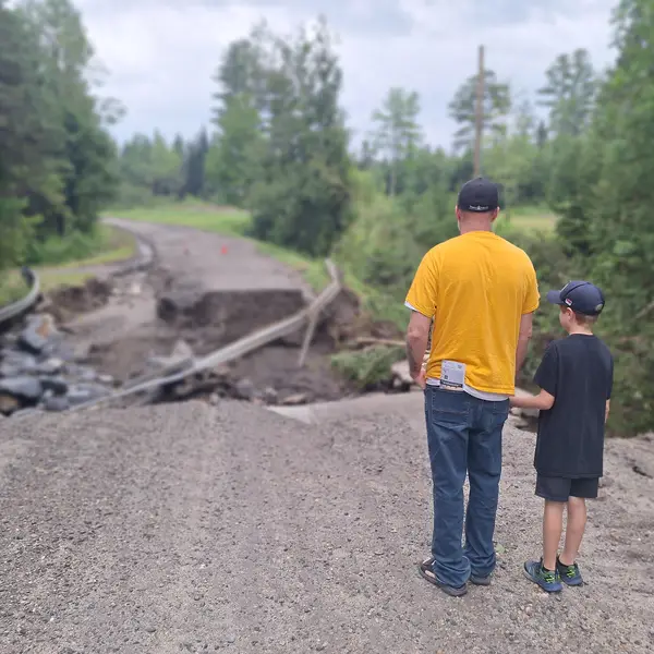
Resilient infrastructure starts with NOAA’s rainfall estimates
RTI is developing NOAA Atlas 15 for NOAA’s Office of Water Prediction, scheduled to be complete by 2027. An extensive effort is underway to gather as much precipitation data as possible to produce a complete picture of precipitation frequency depths across the nation. Novel methodologies have been developed for NOAA Atlas 15 that incorporate the best science, such as nonstationary statistical and dynamical modeling, to generate precipitation frequency estimates for present and potential future time periods.
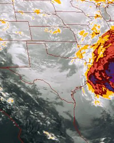
Flood Probability Estimates to Guide Infrastructure Design
Estimates for durations from 5-minutes through 60-days and exceedance probabilities up to 0.1% (or 1 in 1,000) will be released in seamless grids across the continental U.S. (CONUS) and areas outside CONUS such as Alaska, Hawaii, Puerto Rico and the U.S. Virgin Islands, and Pacific Island territories through NOAA’s interactive website. These estimates will assist designers of roads, bridges, and other infrastructure in meeting federal, state, and local guidelines and regulations.
Latest Updates


Learn More About Our Solutions
Meet the Experts
Meet the Experts
Navigate to
Debbie Martin

Debbie Martin
Navigate to
Janel Hanrahan

Janel Hanrahan
Navigate to
Sanja Perica