Solutions
Data-driven insights for a more productive, resilient agricultural future
Agricultural and food systems shape daily life in complex ways, influencing how people access food, earn a living, and adapt to changing conditions around the world. RTI International leverages advanced analysis and modeling to help organizations quantify risk, evaluate tradeoffs, and make informed decisions across the supply chain.
We bring a multidisciplinary approach that integrates economics, environmental science, engineering, and data science. Our work is applied but grounded in sound, peer-reviewed methods, and we use tools—like AI and machine learning—to advance analytical methods while maintaining rigor and transparency.
RTI experts combine use-specific tools with established approaches, including cost-benefit analysis, land use and partial equilibrium modeling, crop suitability mapping, and geospatial analytics. These methods inform technology adoption, policy design, and public investment decisions, while also supporting integrated analysis across multiple sectors, including agriculture, forestry, water, energy, and infrastructure systems.
Advanced Analytics and Tools for Agricultural Decision-Making
Understanding Tradeoffs for Regenerative Practice Adoption
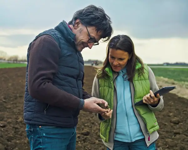
RTI helps government entities, commercial companies, foundations, and international development partners understand the costs, potential, and impacts of regenerative agriculture and forestry practices. Our tools estimate how investments translate into practice adoption, economic benefits, and environmental outcomes, helping decision-makers compare tradeoffs and identify the most cost-effective pathways for achieving desired goals.

Responding to Changes in Trade Policy
TradeSIM™ is a powerful, real-time platform designed to support both trade policy analysis and the identification of market opportunities. The platform enables users to simulate the impacts of trade policies while also exploring shifts in competitiveness, demand, and export potential across more than 700 commodities and every country. Results are delivered through interactive tables, charts, and maps that help organizations assess market risk, evaluate policy impacts, and identify emerging opportunities.
Monitoring Agriculture with Machine Learning and AI
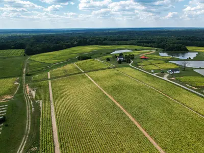
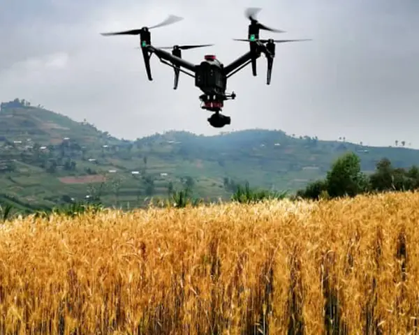
Traditionally, the best way to gather data on land use was via surveyors in the field, assessing crops by hand in a slow, expensive process. New technologies can provide a faster, more comprehensive, and more consistent picture of agricultural status. RTI uses drone or other high-resolution imagery to calibrate satellite-based AI analytics models that monitor crop planting, classification, planted area, growing season progress, crop health, and potential yields. These insights help organizations identify emerging risks, allocate resources, and evaluate the impact of agricultural investments and development projects.
Assessing Agricultural Suitability for Planning
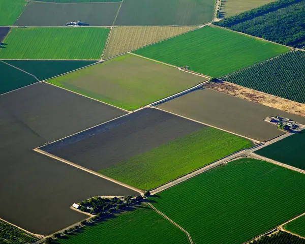
With major shifts in environmental conditions and food policy, come potential changes in the allocation of land across different crops. RTI has conducted crop suitability analyses to explore areas in the United States where key feedstocks for natural colorant production—like red beets, turmeric, and black carrot—may be most likely to expand as demand increases. We have also tailored similar analyses for flood-prone regions in Asia. These analyses help organizations evaluate sourcing opportunities and build more resilient supply chains as environmental and market conditions evolve.
Planning for Future Land Use
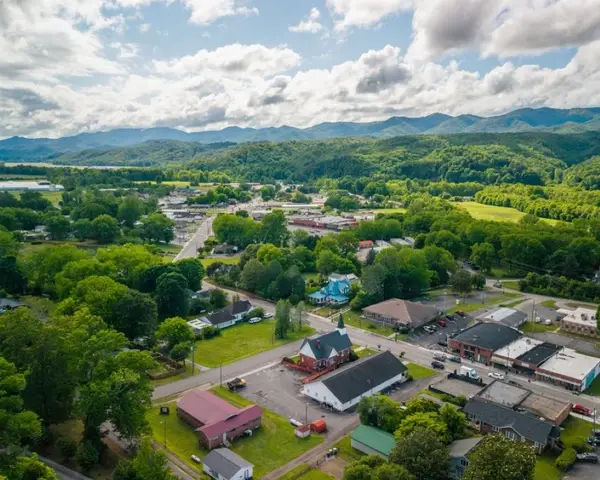
Many of the key economic models used to project changes in agricultural, forest, and other land covers provide aggregated outputs at a state or national level. However, there are many important outcomes that vary depending on which specific land areas are converted. RTI EcoShift™ uses machine learning to predict future land use changes at a disaggregated level under alternative scenarios. The high-resolution projections help decision-makers better understand how varying land conversion scenarios will affect carbon stocks, water resources, biodiversity, endangered species habitat, and other important ecosystem services so that they can plan more effectively.
Integrating Agriculture, Forestry, and Land Use Analysis
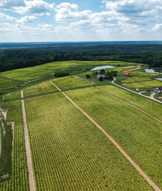
The agricultural, forestry, energy, conservation, and development sectors increasingly compete for the same land and natural resources. RTI integrates economic, environmental, and geospatial modeling to evaluate how policies, market conditions, technologies, and investments may affect land use across sectors and regions. Our analyses help clients understand potential changes in agricultural and forest production, land conversion, commodity markets, water and energy use, emissions, carbon storage, biodiversity, and rural economies. By comparing scenarios and identifying tradeoffs and unintended effects, we help decision-makers navigate uncertainty and understand how changes in one part of the land use system may affect others.
Let’s discuss how data-driven tools can turn agricultural uncertainty into informed action
Meet the Experts
View All Experts
Navigate to
Daniel Lapidus

Daniel Lapidus
Navigate to
Amanda L. Rose

Amanda L. Rose
Navigate to
Christopher Wade

Christopher Wade
Navigate to
Robert H. Beach

Robert H. Beach
Navigate to
Brooke Shaw

Brooke Shaw
Navigate to
Dallas W. Wood

Dallas W. Wood
Navigate to
Caleb Milliken

Caleb Milliken
Navigate to
Naomi Taylor

Naomi Taylor
Related Projects
Integrating climate risk into global agri-food system decision-making
Our free, publicly available database helps decision-makers support small-scale producers in climate-smart ways
Read More about Integrating climate risk into global agri-food system decision-making