![]()
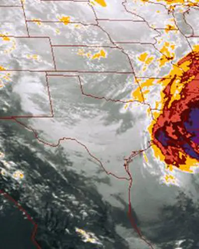
Increased frequency of extreme precipitation events has increased the vulnerability of flood-related risks to many communities. Reservoirs and impoundments can provide critical flood control benefits but are also susceptible to damage or failure under extreme high-flow events. To provide relevant and actionable information for decision making, RTI International’s Center for Water Resources provides and maintains MetPortal, an interactive web application that efficiently distributes extreme precipitation metrics to support standards-based and probabilistic-based flood modeling activities.
MetPortal aids in successful hydrologic modeling of extreme floods by delivering accurate representations of storm precipitation characteristics, including:
- Watershed precipitation-frequency estimates – Provided at very rare annual exceedance probabilities (AEPs) (e.g., 1 in 10,0000) for use in probabilistic flood hazards assessments (PFHAs) using optimized regional frequency and spatial mapping methodologies on specific storm types to reduce uncertainty.
- Probable Maximum Precipitation (PMP) – Provided at a fishnet of transposition points throughout a project area. Moisture-maximized storms were transposed using current state-of-the-science frequency-based enhanced transposition methods to maintain storm spatial and temporal patterns. Differences in topography, distance from moisture source, and storm efficiently are inherently considered without extraneous adjustment factors. Secondary storms are also available to provide alternate realizations of extreme storms.
- Storm spatial and temporal patterns – Produced as hourly grids and csv data for easy implementation into hydrologic models.
- Storm seasonality – Required to determine representative antecedent soil moisture, snowpack, initial streamflow, and initial reservoir level.
MetPortal also provides estimates of the AEP of PMP estimates, thereby allowing State Dam Safety programs a means of prioritizing projects and assessing risk.
MetPortal deliverables effectively support watershed modeling of extreme floods to assess the adequacy of spillway capacity on existing dams, for sizing spillways for rehabilitation of existing dams, and for construction of new dams, dikes, and river crossings. The robust deliverables may be used in a risk-informed decision-making (RIDM) framework.
MetPortal is currently available for Colorado, New Mexico, and British Columbia.
Meet the Experts
Meet the Experts
View All Experts
Navigate to
Victoria Sankovich Bahls

Victoria Sankovich Bahls
Navigate to
Debbie Martin

Debbie Martin
Navigate to
Kyle Chudler