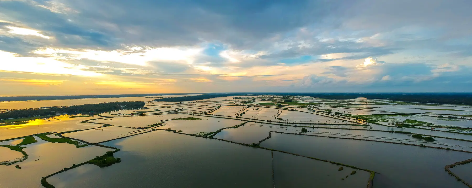
A practical way to protect people in developing countries from the devastating effects of climate change
Objective
To use flood warning systems to minimize harm from increasingly severe rainfall events in areas where structural flood mitigation isn't available.
Approach
We worked with agencies in flood-prone areas of India and Kenya, providing training in flood forecasting and hydrologic modeling.
Impact
The agencies we consulted with now have the foundation to forecast floods for certain locations. They can build on this capability, working toward protecting lives and livelihoods from the effects of climate change.
In recent years we have seen more intense rainfall events around the world. Large storms have brought huge amounts of rainfall, often coupled with very high rainfall rates, to large and small river basins,causing devastating flooding. Floods have happened around the globe before, but their frequency and magnitude are increasing.
Per the United Nations Environment Programme (UNEP), “Floods are made more likely by the more extreme weather patterns caused by long-term global climate change. Change in land cover—such as removal of vegetation—and climate change increase flood risk. […] While it is difficult to make a direct link between an individual extreme event and climate change, it is clear that we need to be prepared to face more intense and more frequent extreme hydro-meteorological events due to climate change […]” (United Nations Environment Programme’s (UNEP), 2020).
Developed nations have implemented structural flood mitigation measures, such as levees, water detention ponds, or flood prevention dams for many decades and have invested heavily in flood warning infrastructure. Still, as extreme flood events in Colorado in 2013, in England in 2019, and most recently in Belgium, Germany, and China in 2021 show, even developed nations are still grappling with warning and protecting their populations.
The situation is more dramatic in developing nations. Structural flood mitigation measures are often scarce, and funds are not available to build them, even if environmental concerns can be addressed. Even with adequate funding, it would take many years to complete these intensive projects. Reports of devastating flooding and life loss in developing countries are regularly in the news and seem to get worse due to growing populations, encroachment on flood plains, and the impacts of climate change. In these areas, the implementation of flood warning systems seems to be a potential way to at least minimize life loss and harm in flood-affected areas.
Building Flood Forecasting and Warning Systems in Kenya and Kerala, India
In 2019 Kerala, India was hit by devastating flooding and Kenya experienced large-scale inundation and landslides.
In both cases, operational flood warning systems were not available during these tragic events. The World Bank stepped in in India, and the European Commission in Kenya, to build related resilience and capacity and minimize future loss of life and livelihood. In response, in 2020 and 2021 RTI International’s Center for Water Resources (CWR) worked with agencies in Kenya and Kerala to implement flood warning systems and train staff at Kerala’s State Electricity Board (KSEB) and Water Resources Department (KWRD) and Kenya’s Water Resources Authority (WRA) and Meteorological Department (KMD). In both cases, RTI worked with the local experts to calibrate hydrologic models to simulate river flows in response to heavy rainfall and to integrate these models with real time rainfall forecasts from the Global Ensemble Forecast System (GEFS) to produce 3- to 10-day forecasts of flows for the Pamba River (in Kerala) and Tana and Athi Rivers (in Kenya). The implemented systems utilize RTI’s Amanzi technology in Kerala and build on a software from the Danish Hydraulic Institute (DHI) in Kenya. Intensive training on hydrologic model development, forecast system configuration and operation, the interpretation of flow forecasts, and the dissemination of warnings have enabled KSEB, KWRD, WRA, and KMD staff to independently and sustainably forecast floods in the future.
Flood Forecasting in the Time of Climate Change
Water resources agencies in Kerala and Kenya now have the foundation to forecast floods for a small number of locations. The implemented forecast systems are built to utilize not only the global rainfall forecasts from the GEFS, but also locally generated, and possibly more accurate rainfall forecasts created by the India Meteorologic Department (IMD) and KMD. Analyzing the forecast performance of the employed numerical weather prediction models as well as the flow forecasts themselves will allow continuous adaptation to a changing climate and the resulting hydrologic impacts. As Kerala and Kenya gain experience with operational flood forecasting, and integrate their forecasts with local flood warning efforts, they are one step close to protecting the lives and livelihoods of their people.

