
Featured Stories


years in publishing
publications
Search RTI Press

Impact: By the Numbers
Impact: What RTI Press Authors Are Saying
“I REALLY appreciate the expedited schedule for this effort. From a gleam in the eye to final book in one year is an accomplishment, and it wouldn't have been possible without the strong support from RTI Press.”
“I definitely appreciated the human element of RTI Press. Everyone gave me thoughtful, technically strong feedback in a respectful, collaborative and engaging manner. I've never experienced this kind of collaboration and interaction with any other journal.”
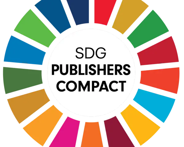
As a signatory of the United Nations' Sustainable Development Goals (SDGs) Publishers Compact, RTI Press aims to develop sustainable practices and champion SDGs. We publish works that help inform, develop, and inspire action to achieve the SDGs by 2030.
Demonstrating our commitment, over 90% of RTI Press publications are related to at least one of the 17 SDGs. Explore our publications by SDG.